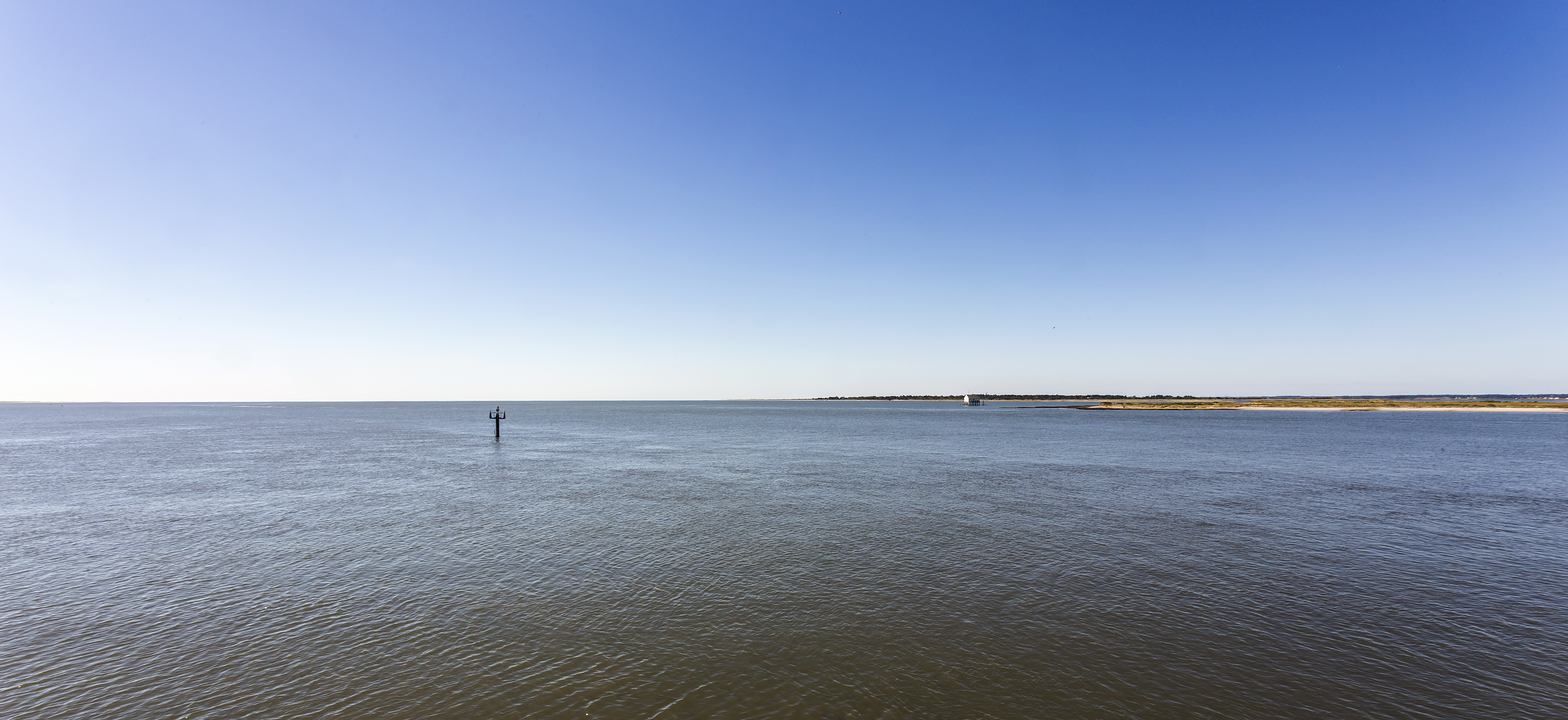
Chincoteague Inlet on:
[Wikipedia]
[Google]
[Amazon]
GMCO Maps & Charts. ''GMCO's Fishing & Recreation Map of Chincoteague-Assateague, Virginia'', 2003.
Chincoteague Inlet is found lying between 
Assateague Island
Assateague Island is a long barrier island located off the eastern coast of the Delmarva Peninsula facing the Atlantic Ocean. The northern two-thirds of the island is in Maryland while the southern third is in Virginia. The Maryland sectio ...
and Wallops Island
Wallops Island is a island in Accomack County, Virginia, part of the Virginia Barrier Islands that stretch along the eastern seaboard of the United States of America. It is just south of Chincoteague Island, a popular tourist destination.
W ...
on the Eastern Shore of Virginia
The Eastern Shore of Virginia consists of two counties ( Accomack and Northampton) on the Atlantic coast detached from the mainland of the Commonwealth of Virginia in the United States. The region is part of the Delmarva Peninsula and is se ...
. It is 30 miles south-southwestward from the Ocean City, MD Inlet.
The approach has no sea buoy, however lighted buoy (R "2"), marking Chincoteague Shoals, is located ESE of the entrance at 37°47’25" N / 075°22’21" W, and can be used.
Prominent on the approach are Assateague Light shown from a 142-foot red and white horizontally banded conical tower and a lookout tower on the southern tip of Assateague Island; both are visible well offshore.
The marked channel through the inlet to Chincoteague Channel is subject to frequent change; the buoys are shifted with changing conditions. Breakers are evident on either side of the channel. A sunken wreck is about 0.4 mile southwest of Fishing Point in 37°51’54" N., 75°24’04" W.

Notes